|
|
|
View The Images 1933
New Jersey Shore North - Small Format 1933
New Jersey Shore North - Large Format (screen viewable - fast loading) 1933
New Jersey Shore Central-South - Large Format |
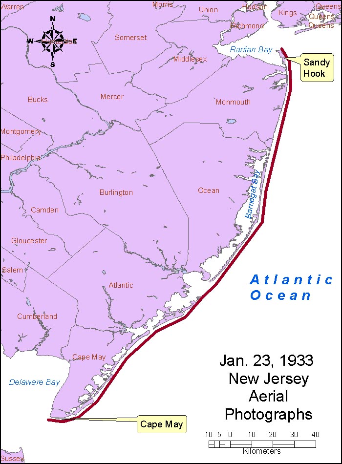
Location: Atlantic shore of New Jersey from Cape May to Sea Bright and Sandy Hook. Photograph date:
23 and 24 January 1933, based on labels on some of the frames. Abstract: These are historical black and white aerial photographs of the Atlantic coast of New Jersey. Photograph dates are 23 and 24 January 1933 based on labels on some of the frames. Source of original images: photographic archives of the Beach Erosion Board (predecessor of the former Coastal Engineering Research Center), presently stored at the Coastal and Hydraulics Laboratory, Engineer Research and Development Center, in Vicksburg, Mississippi, USA. Original image condition: excellent. Printed on single-weight glossy paper. The printing date is unknown. Aerial flight service: Unknown, possibly Army Map Service. Source of original images: Photographic archives of the Beach Erosion Board (predecessor of the former Coastal Engineering Research Center), presently stored at the Coastal and Hydraulics Laboratory, Engineer Research and Development Center, in Vicksburg, Mississippi, USA. Original image condition: Excellent. Printed on single-weight glossy paper. The printing date is unknown. Supplemental Information: Flight was from north to south. Total number of frames is 331. These files have not been orthorectified or projected. Lens: 12 inch, altitude: approximately 10,000, time: shown on every 5th or 6th frame. Label on first frame of series at Sandy Hook: (M33-876-14)(1-23-33-11:29A)(12-10000) New Jersey Coastline. Disposition of original negatives: Unknown Alternates sets of prints: None known SCANNING INFORMATION: Scanner: UMAX PowerLook 1000 FOR MORE INFORMATION: Andrew Morang, Ph.D. Tel voice: 601-634-2064 Email: andrew.morang@usace.army.mil
|