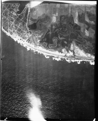
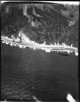
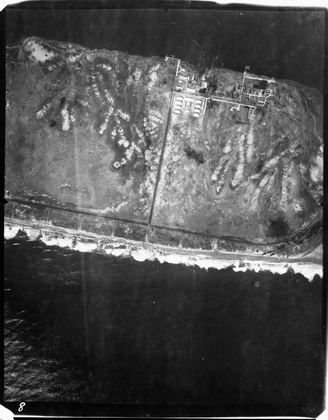
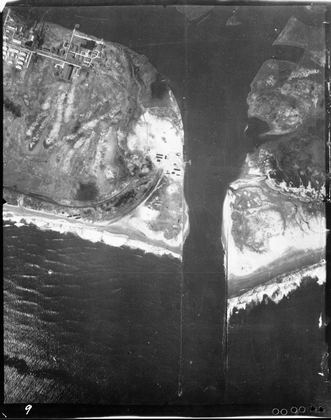
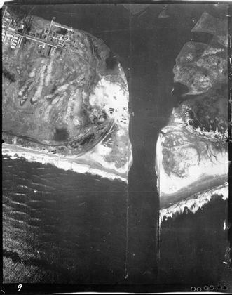
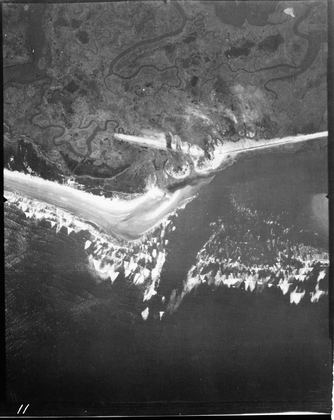
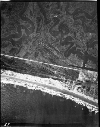
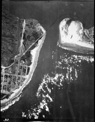
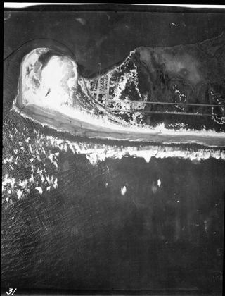
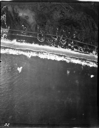
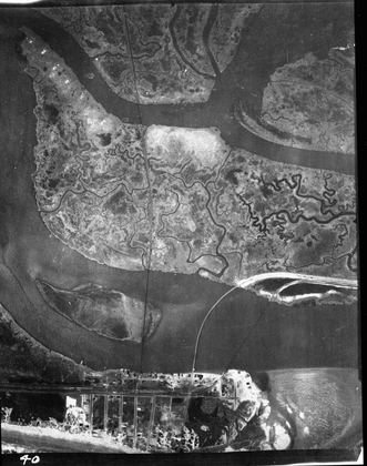
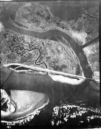
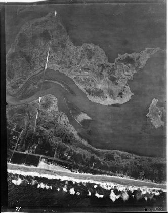
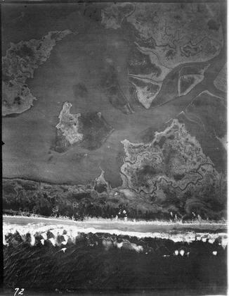
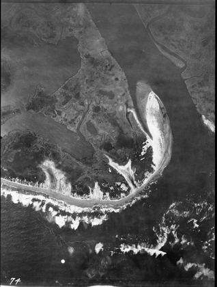
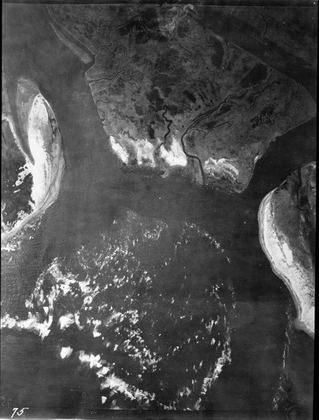
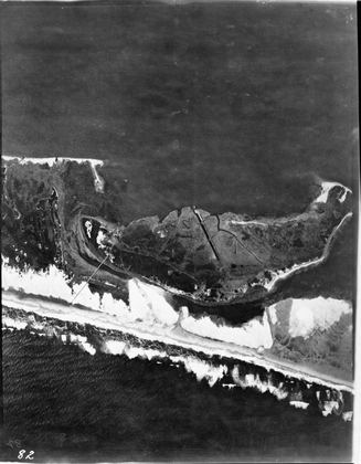
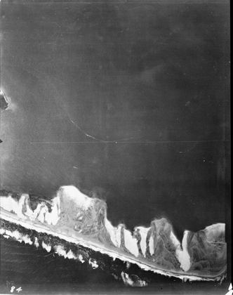
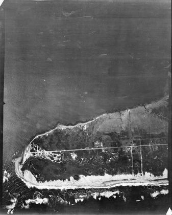
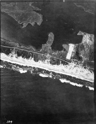
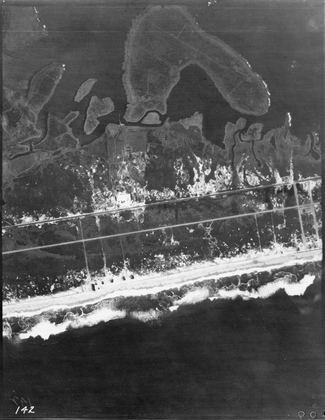
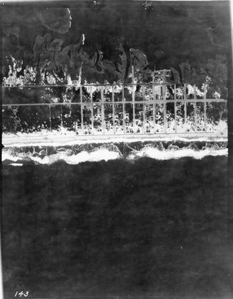
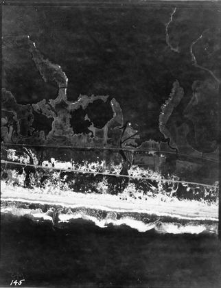
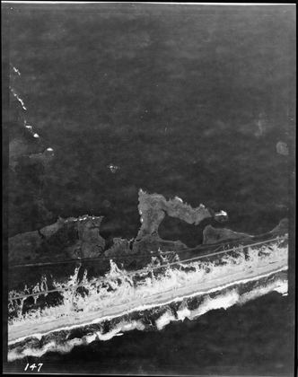
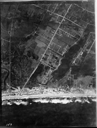
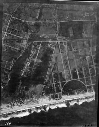
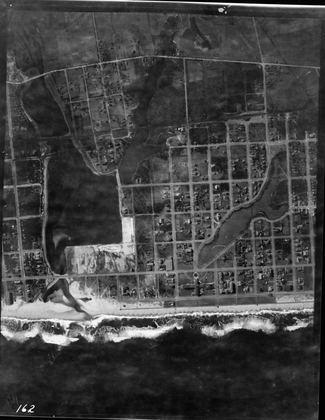
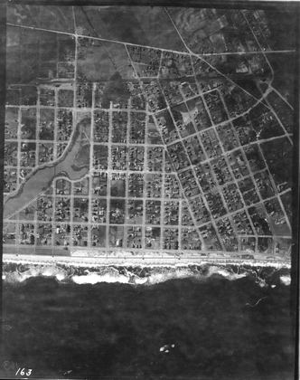
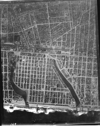
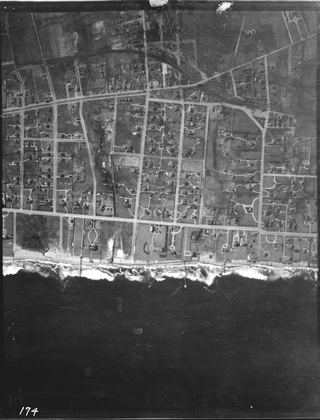
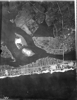
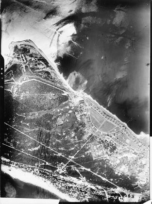
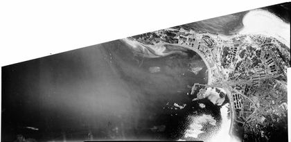
New Jersey Shore, 1920
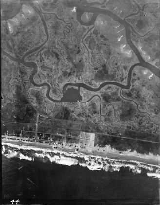
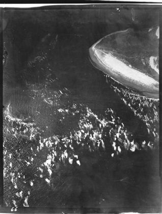
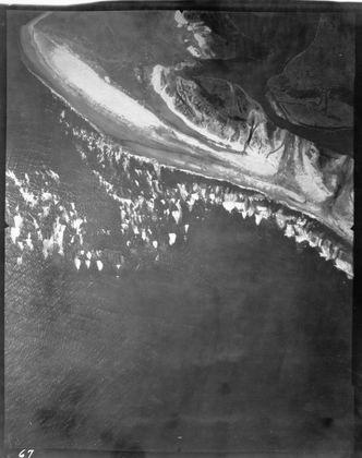
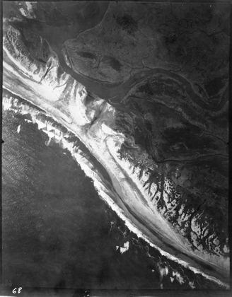
Atlantic shore from Cape May to Sea Bright and Sandy Hook · 191 frames · select a photo to view and zoom.
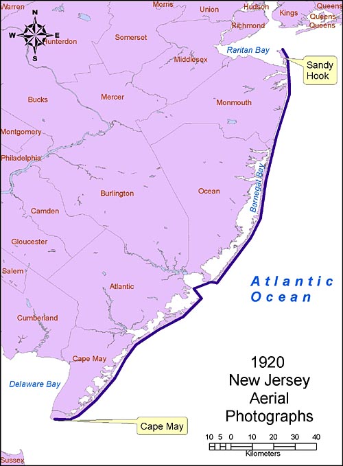
About these photographs
- Location
- Atlantic shore of New Jersey from Cape May to Sea Bright and Sandy Hook.
- Coverage
- South: 38.92°N, 74.92°W · North: 40.71°N, 73.98°W
- Aerial flight service
- Unknown, but believed to be pioneering aerial coverage by the Fairchild Aerial Camera Company.
- Scale
- 1:10,000 (as written on envelope)
Source, condition and scanning notes
Photograph date: Feb-March 1920.
(The specific date of the flight was not recorded. Some of the storage envelopes have the notation, "believed to be 1920" and frame no. 179 has 1920 written on the back in ink. A storm called "the great sleet storm of 1920" occurred 6 Feb 1920. The photographs were taken somewhat later because all the snow is gone, even in obvious shadow areas. It is presumed that they were flown about 2 weeks later from the recovery berms on the beaches. In addition, photo 012 shows Turtle Gut Inlet to be open, and the inlet closed naturally in 1921.)
Source of original images: Photographic archives of the Beach Erosion Board (predecessor of the former Coastal Engineering Research Center), presently stored at the Coastal and Hydraulics Laboratory, Engineer Research and Development Center, in Vicksburg, Mississippi, USA.
Original image condition: Variable. These prints look like they were made quickly because many of the negatives are crooked on the photographic paper. Most are low contrast and show fading and discoloration. Printed on single-weight glossy paper. Printing date unknown.
Numbering convention: Digital files are numbered the same as the original print, with numbers increasing from from south to north.
Altitude, lens, time, film type: Unknown
Disposition of original negatives: Unknown
Alternates sets of prints: None known
Scanning Information: Scanner: UMAX PowerLook 1000
Software: SilverFast v6.2.0r6
Resolution: 600 x 600 dpi for TIFF files (not on the site); 600 x 600 dpi, 8 bit Grayscale for JPEG files.
Emphasis: Contrast and gain of each photograph individually adjusted to emphasize features near the shore. Used automatic curve function by drawing a box in the area of interest. Then expanded the box to the full image area without readjusting the contrast or gain.
Scanning date: February 2005.
Scanned by: Mr. Doyle Jones