Home     Main RSM Page

LongIsland

Made available by the ERDC
Coastal and Hydraulics Laboratory

These images have been recovered from the archives of the Beach Erosion Board and the Coastal Engineering Research Center. They were compiled and organized at the Coastal and Hydraulics Laboratory, Engineer Research and Development Center, Vicksburg, Mississippi USA.

Photos Overview:
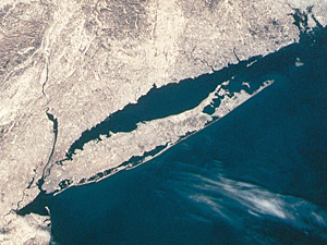
Regional Coastal Photograph Archive of the Beach Erosion Board (1.29Mbytes pdf)


Delaware

Atlantic shore of Delaware

1941 Atlantic shore of Delaware from Cape Henlopen to Fenwick Island


Related Information


Louisiana

Louisiana Grande Isle Regional

1953 Shore near Caminada, Grand Isle, and Grand Terre


Related Information


Maryland

Atlantic Coast, Maryland

1936 Ocean City


Related Information


New Jersey

New Jersey Regional

1920 New Jersey Shore
1933 New Jersey Shore
1944 New Jersey Shore
1944 New Jersey Shore - After Hurricane - Oblique Photos
1962 New Jersey Shore


Related Information


New York (Long Island)

Long Island Regional

1938, June - South Shore Long Island - Pre-hurricane
1938, September - South Shore Long Island - Post-hurricane
1939 South Shore Long Island
1941 South Shore Long Island
1954 South Shore Long Island
1962 Ash Wednesday Storm
1972 South Shore Long Island
Special: 1951 Jones Island Mosaic

Fire Island Inlet

June 1936
July 1936
September 1936
October 1936
January 1937
July 1937
August 1937
January 1942


Related Information


North Carolina

North Carolina, Various

Historical photographs of the Outer Banks of North Carolina
FRF Pier Aerial Photos - Duck, North Carolina
Oregon Inlet Aerial Photos - North Carolina


Related Information

For additional information please contact:

Katie Brutsche, Ph.D.
Coastal and Hydraulics Laboratory
Engineer Research and Development Center
3909 Halls Ferry Road
Vicksburg, MS 39180
Katherine.E.Brutsche@usace.army.mil
 
Coastal and Hydraulics Laboratory